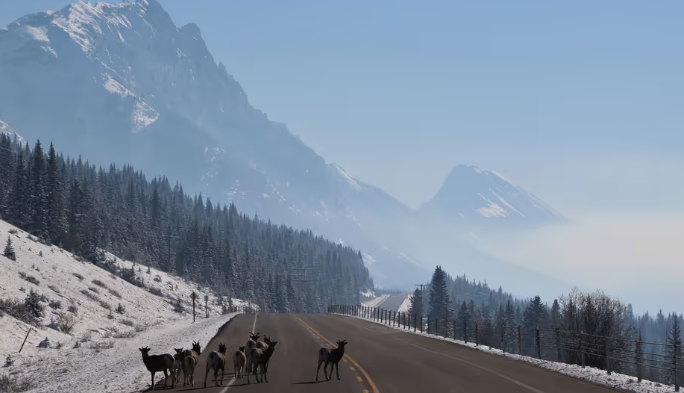
If you were hoping to dig your heavy winter parka out of the closet early this year, you might want to hold off a bit.
Environment Canada just dropped their weather outlook for October through December, and the headline is pretty clear: Alberta is in for a unusually mild and dry wrap-up to the year.
Here is what you need to know about what’s coming our way over the next few months.
Pretty much the entire province is leaning toward warmer-than-average weather over the next three months. If you live up north or in central Alberta—including around Fort McMurray—you’re in the hot spot where these higher temperatures are most likely to play out.
Does this mean we won’t see any freezing days or sudden snowfall? Not quite!
When forecasters say “warmer than normal,” they mean the average temperature over October, November, and December combined will likely be higher than the 30-year average (1991–2020). We will still get cold snaps, but overall, the pattern is leaning mild.
Along with the warmer air, the models are pointing toward drier conditions across most of Alberta.
-
Total rain and snowfall for the rest of the year are predicted to fall into the driest third of historical records.
-
This drier trend applies to most region-wide forecasts, including northeastern parts of the province.
While temperature trends are usually fairly reliable, long-range rain and snow predictions are notoriously tricky to pin down.
In fact, Environment Canada’s own historical accuracy maps show that long-term precipitation forecasts for much of Alberta don’t perform much better than a coin flip. So while it’s smart to prepare for a drier fall, don’t be totally surprised if winter decides to throw a surprise snowstorm our way anyway!







Comments